-
What is DASMAP
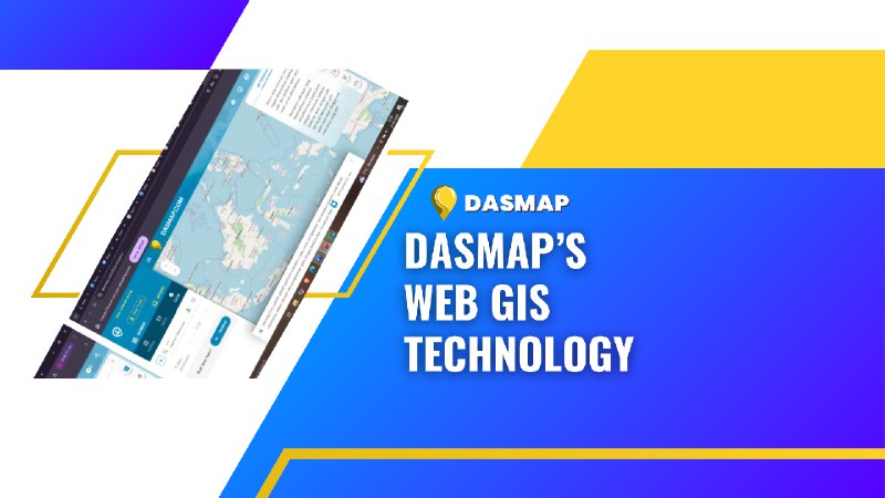
Dasmap is a company that provides information technology-based solutions, particularly in the field of mapping and geographic information systems (GIS). With a focus on innovation and ease of access, Dasmap’s Web GIS (Geographic Information System) services that allow users to manage, analyze and present geographic data through web-based applications.
Web GIS is a geographic information system that runs over the internet, allowing users to access interactive maps, geographic data, and spatial analysis through a web-based platform.
It integrates maps, geographic data, and analysis tools in a single platform that can be accessed online, without the need for specialized software on the user’s device.
-
What is Web GIS
Web GIS makes it easy to share spatial information in real-time, enables collaboration between different parties and improves the efficiency of geographic data-based decision making. Through Web GIS, users can do various things, such as:
- View interactive maps.
- Zoom in/out
Zoom in or out on the map to view a more detailed or larger area. - Panning
Shift the map to see other locations without losing orientation. - click for info
Clicking on a specific location on the map to get more information about that point (e.g. place name, coordinates, related data) - Layering
Add various layers of information on top of the map (for example, weather data, boundaries, transportation routes, or other geographic data).
- Zoom in/out
- Analyze geographic data with spatial analysis tools.
- Distance Analysis
Measures the distance between points or between objects using geographic coordinates. - Proximity Analysis
Determines how close or far an object is from another location. - Overlay Analysis
Comparing multiple sets of geographic data to find relationships or patterns between them. - Cluster Analysis
Identify groups of geographical objects that have similarities or similar distributions. - Buffer Analysis
Create zones around geographic points to analyze objects or data within a certain range.
- Distance Analysis
-
Add geographic data or modify existing information.
- Adding New Points or Areas
For example, adding new locations such as buildings, roads, or natural resources that are not already listed on the map. - Modifying Existing Information
Update existing geographic data, such as changing place names, adjusting boundaries, or updating data related to weather or population. - Edit spatial data
Modify the shape and size of areas, paths, or other features on a map using editing tools in a GIS application.
-
Access and Share Data Securely Over the Web
- Data Security
Uses encryption, authentication, and access control methods to ensure that shared data can only be accessed by authorized parties. - Cloud-Based Platforms
Services such as ArcGIS Online, Google Earth Engine, or Amazon Web Services (AWS) allow users to upload, store, and share geographic data securely over the internet. - Map and Data Sharing.
Use URLs or web applications to share interactive maps or geographic data with the public or specific groups. Access can be restricted based on set permission levels, either to view the data only or to edit and update the data.
All of these features are widely used in fields. Such as urban planning, disaster management, environmental analysis, and natural resource management, where geographic information is essential. And can be done in the Dasmap’s Web GIS technology.

In conclusion with Dasmap’s Web GIS technology, companies, government agencies, and non-profit organizations can tap into the vast potential of geographic data.
Dasmap is committed to providing solutions that are easy to use, accessible to various groups, and provide maximum results in managing geographic data.
In this case Dasmap’s Web GIS helps transform the way organizations leverage spatial information for smarter, data-driven analysis and decision-making.